The site
The site is a cleared plot on the north-western side of Gerard Road, where a semi-detached house previously stood; it was demolished after structural failure during works to a previously approved rear extension, leaving the party wall supported by a structural beam. The street is made up of modest two-storey semi-detached houses with front and rear gardens and pitched roofs. The site is in Flood Zone 1 and is not in a conservation area, but surface water mapping shows ponding of up to about 300 mm across the front forecourt and adjoining highway in severe rainfall.
The challenge
On an earlier scheme, PL/1505/25, the council found that its scale, frontward ground-floor projection, design and rearward extensions were considered out of character and an overdevelopment of the site. The new application had to show a materially different scheme that respected the building line, the 45-degree code in the Harrow Residential Design Guide SPD and the light and privacy of the two adjoining houses, while dealing with the surface water flood risk at the front of the plot.
What was submitted
- Design and Access Statement and Planning Statement (revised)Set out point by point how the scheme answered the council's concerns on PL/1505/25: the basement was removed, the frontage was pulled back to the Gerard Road building line and the rear massing was checked against the 45-degree guidance. It also summarised the drainage strategy, based on a contributing area of about 340 m², discharge restricted to 1.0 l/s by a pumped outfall and at least 19 m³ of below-ground attenuation for the 1-in-100-year plus 40% climate change event.
- Design and Access Statement (earlier version)An earlier version of the statement described a five-bedroom house over ground, first and loft floors, with a loft GIA of 47.5 m² and materials, porch and windows matched to the adjoining semi-detached house.
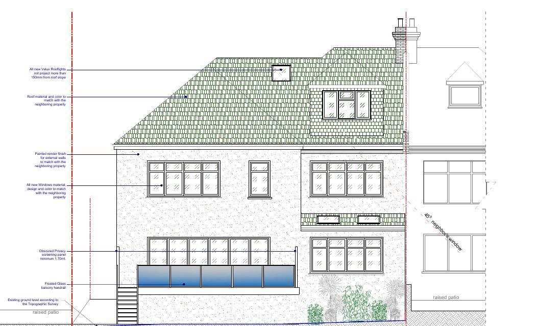
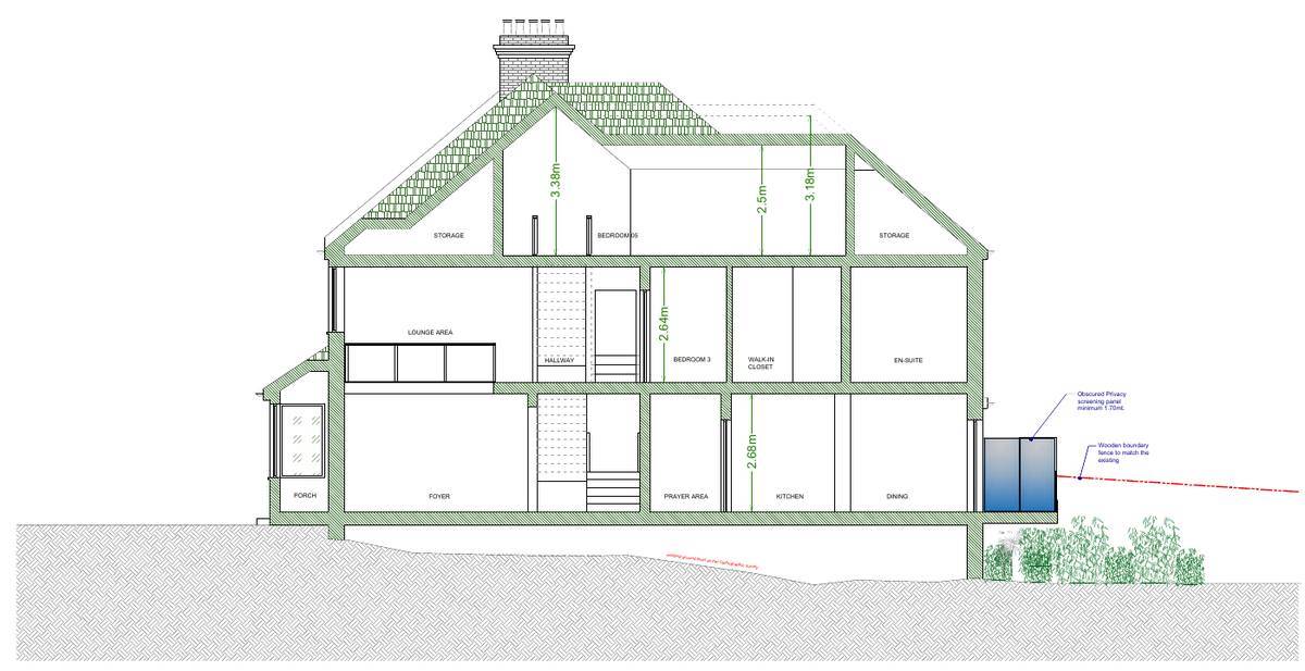
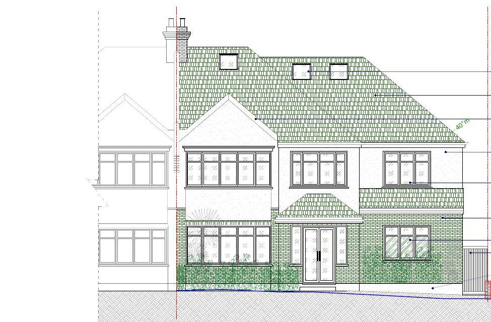
- Proposed plans, elevations, sections and levels drawingsThe drawing set covered floor and roof plans, elevations, a section and pre-existing, existing and proposed levels taken from a topographic survey. It also included the landscape plan, material schedule, bin and cycle storage details and the SuDS drainage layout. Side windows are obscure glazed and the rear deck has a privacy screen at least 1.7 m high.
- Daylight and Sunlight AssessmentAssessed to BRE BR209 (2022) and BS EN 17037 using VSC, APSH and ADF. All windows of one adjoining house met the BRE guidance. At the other, four ground-floor windows serving secondary spaces fell below the targets. Both neighbouring gardens kept more than 50% of their area with at least two hours of sun on 21 March.
- Arboricultural Report and Tree Protection PlanA BS5837:2021 survey assessed three trees, two Category A (one a street tree on the footpath) and one off-site Category B. No Tree Preservation Order or conservation area protection was identified, and the report set out protective fencing, ground protection and monitoring for the retained trees.
Outcome
Planning permission was granted by the planning committee on 20 July 2026. Earlier applications at the site were PL/1505/25 and PL/0492/25, which was withdrawn.