A desktop review of ground conditions and geotechnical risks to inform design and any ground investigation.
When this service may be useful
A geotechnical desk study is the first step in understanding ground conditions. It is useful before buying a site, when designing foundations or basements, and when a council or lender asks for evidence on ground stability.
How the work is approached
Published geology, historical maps, borehole records and site information are reviewed to build an initial picture of the ground and the hazards that could affect the proposal.
What you receive
You receive a desk study report with a clear summary of geotechnical risks and a recommended scope for any intrusive investigation. Purchased data reports and site work are confirmed separately.
What we need to start
Site address, site boundary and outline proposals.
We review the site, proposal and planning stage to agree the appropriate scope. The work is carried out by a suitably qualified specialist we appoint, named in your fee proposal.
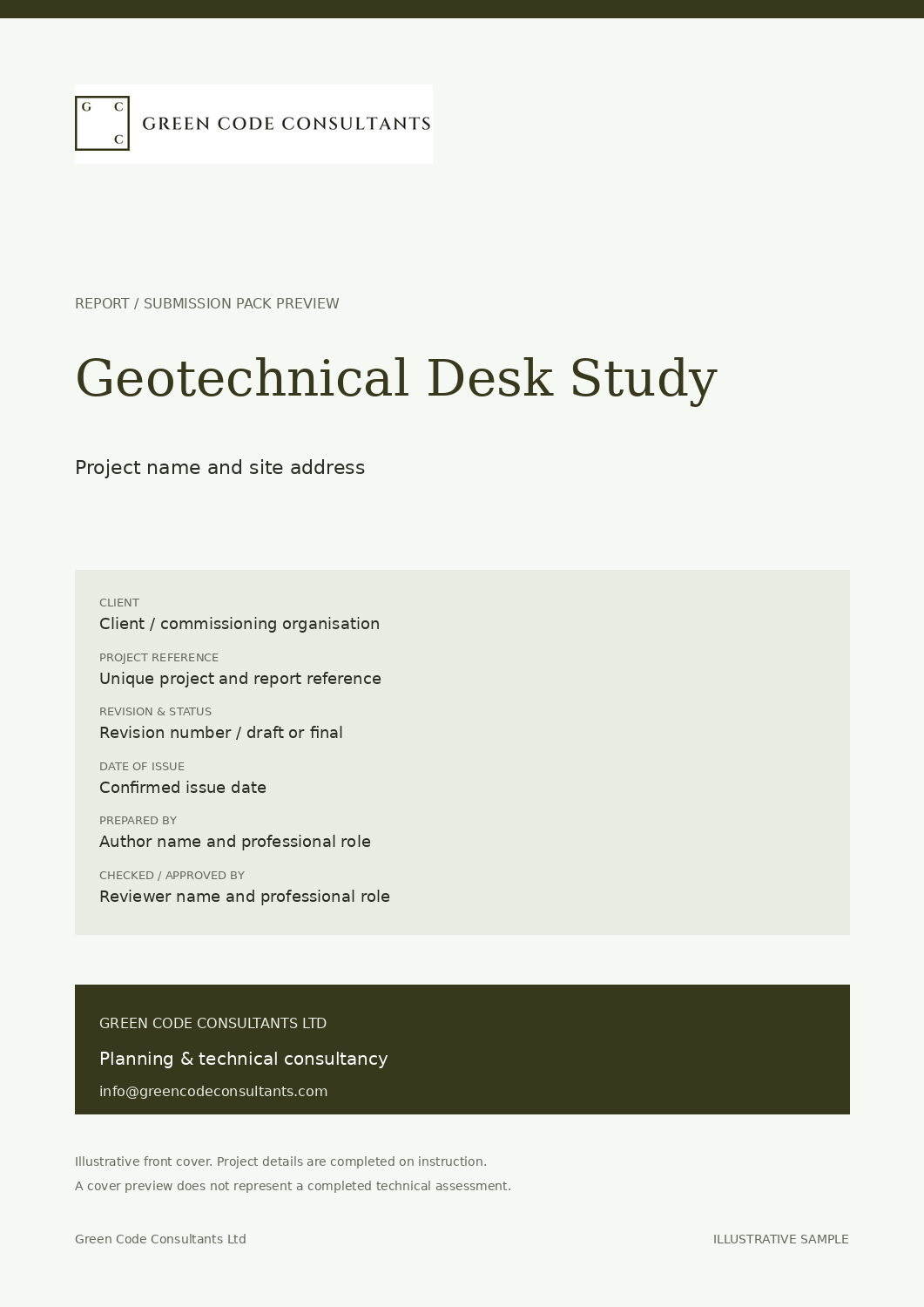
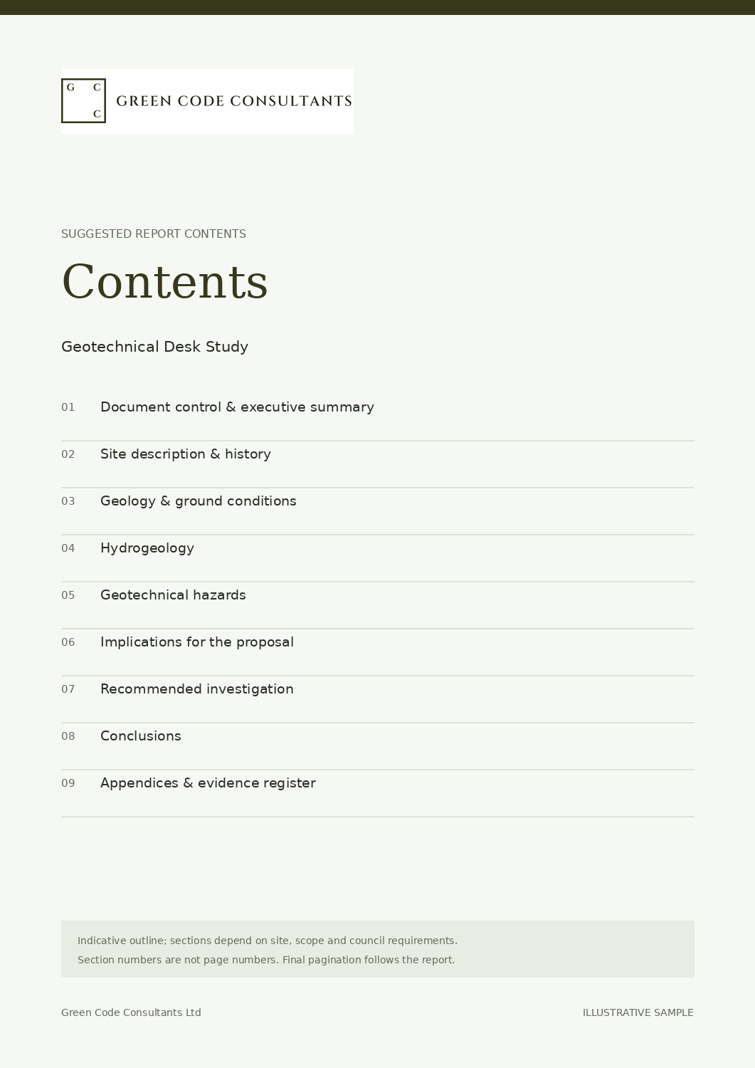
Front cover and contents page examples. The document structure is tailored to your instruction, site and relevant planning requirements.
Front coverContents page
What the report should contain
This outline explains the purpose of each section. The final contents depend on the agreed scope, available evidence and requirements of the local planning authority.
Document control & executive summary
Project details, reference, revision, date, author, reviewer and a concise summary of the key findings.
Site description & history
Current use, past uses and historical mapping.
Geology & ground conditions
Published geology, made ground and expected strata.
Hydrogeology
Groundwater conditions and their relevance to design.
Geotechnical hazards
Shrinkable clay, trees, slopes, voids and other hazards.
Implications for the proposal
Likely foundation solutions and construction considerations.
Recommended investigation
Scope of intrusive investigation, if required.
Conclusions
Key geotechnical risks and next steps.
Appendices & evidence register
Index relevant plans, photographs, calculations, surveys and source documents; include only the evidence relevant to this instruction.
Is this the same as a contaminated land desk study?
No. A geotechnical desk study concerns the ground's engineering behaviour. Contamination is assessed in a Phase 1 contaminated land study; the two can be combined where both are needed.
What information should I provide to get started?
Site address, site boundary and outline proposals.
How is the fee for this service confirmed?
The price shown is a starting estimate for the stated scope. We review the site, proposal, available information and required deliverables, then confirm the fee, exclusions and programme in a written quotation before appointment.
How do your specialists work together on a project?
We bring the relevant planning consultants and specialist providers into a coordinated project team. They work from an agreed brief and current proposal, with dependencies and design changes discussed across disciplines. Each consultant remains responsible for their own professional advice and agreed deliverables.
PART OF A COORDINATED APPOINTMENT
Your specialist evidence, connected.
This service can form part of a wider coordinated planning appointment. We bring the relevant consultants together to work alongside your design team, discuss assessment findings and identify how recommendations affect other reports and the proposal.
Your fee proposal confirms who prepares each document, the information it relies on and the limits of the instruction. A report provides evidence for the council’s assessment; the planning decision remains the council’s. Explore how our consultants work together or discuss the team your project needs.
YOUR NEXT STEP
Discuss your requirements.
Tell us about the site, what you want to achieve and any deadline. We will review it and suggest an appropriate next step.